- Audio
-
Geology of the valley
- Information
-
Geology of the valley
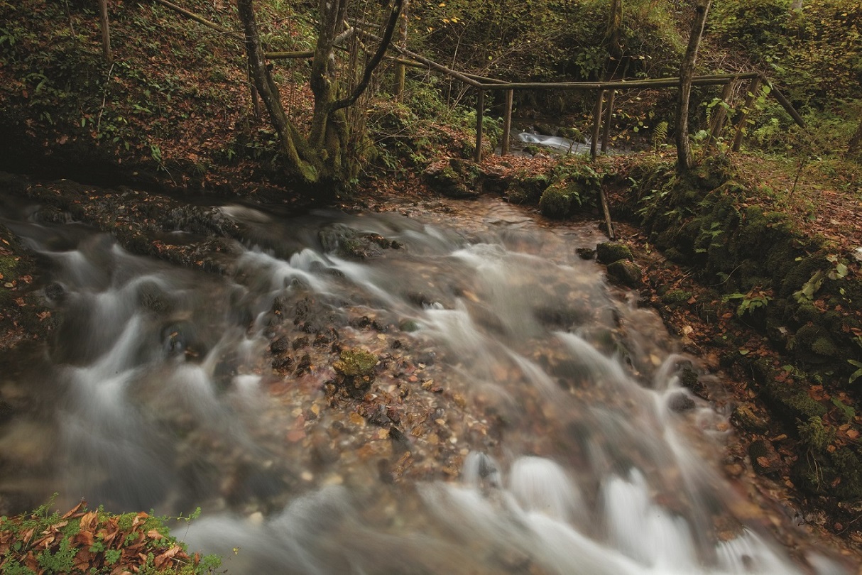
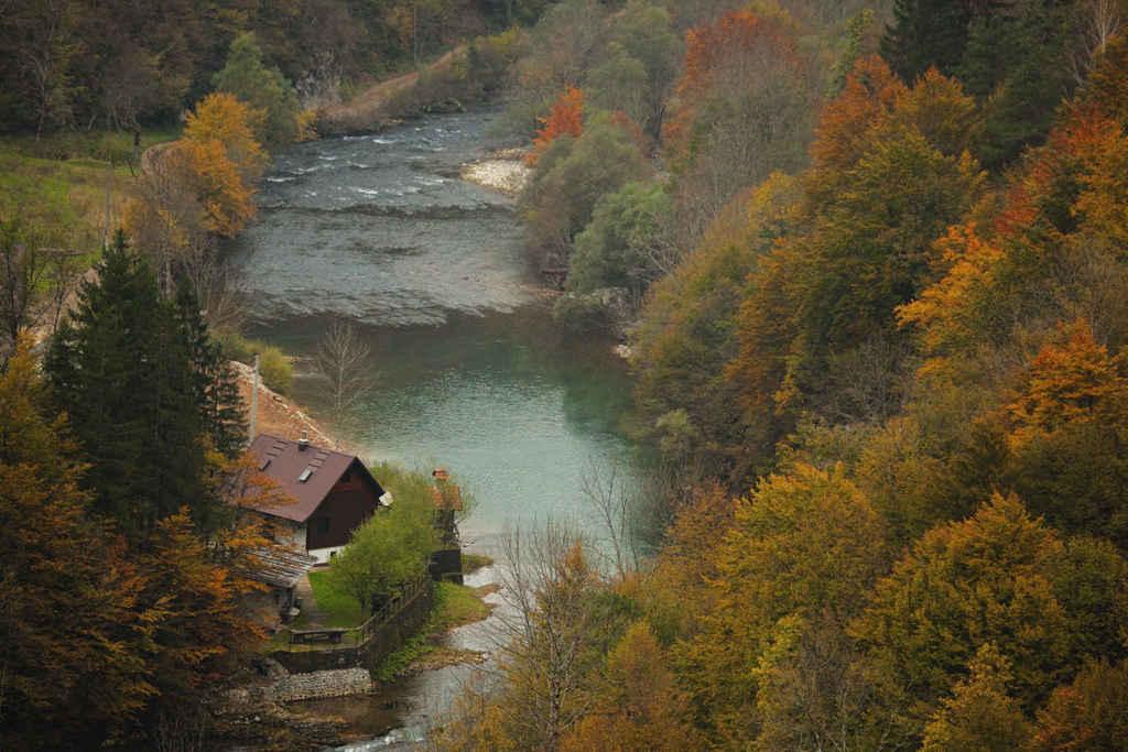
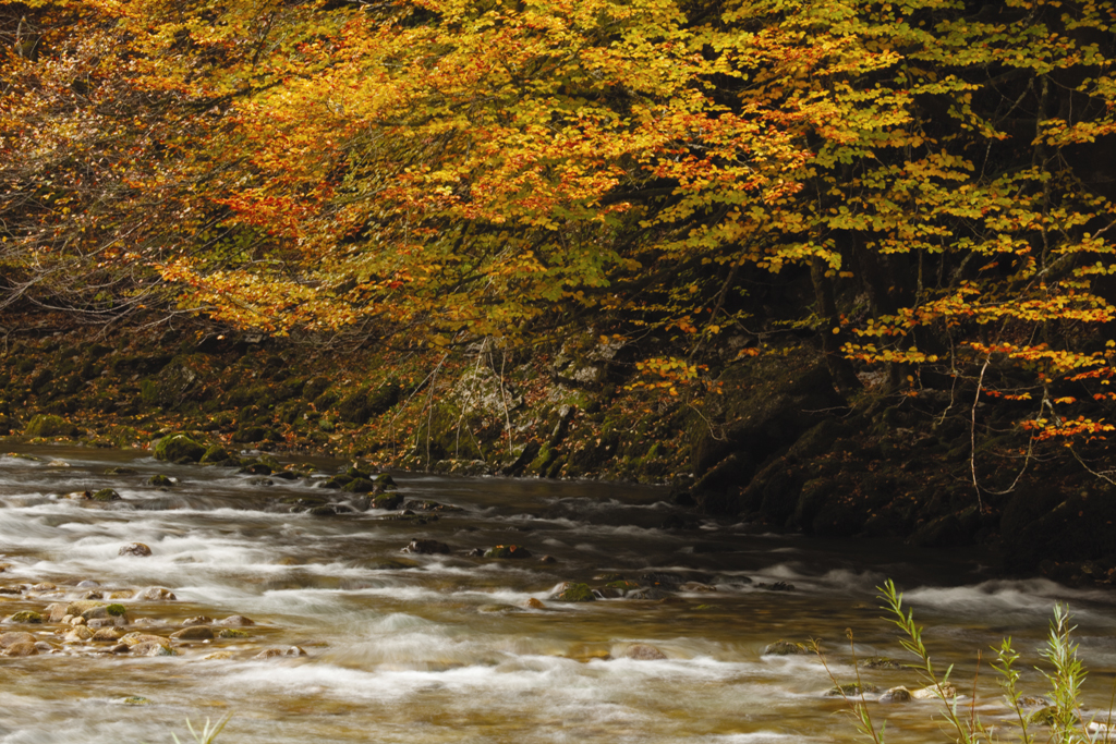
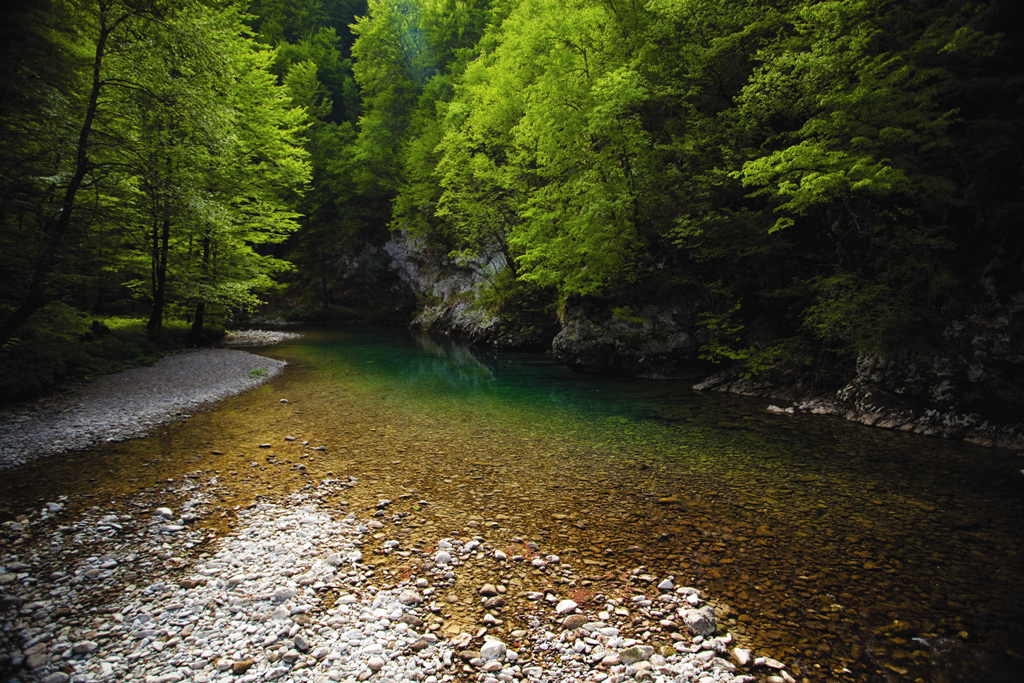
The northern, relatively narrow part of the Risnjak National Park is marked by a special geomorphological complex – the valley from the source of the River Kupa to its confluence Čabranka, known as the Kupa Valley.
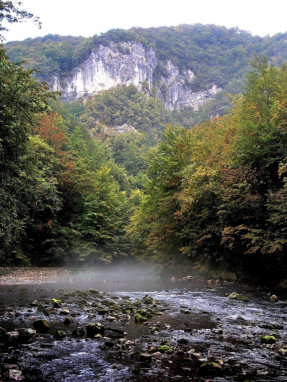
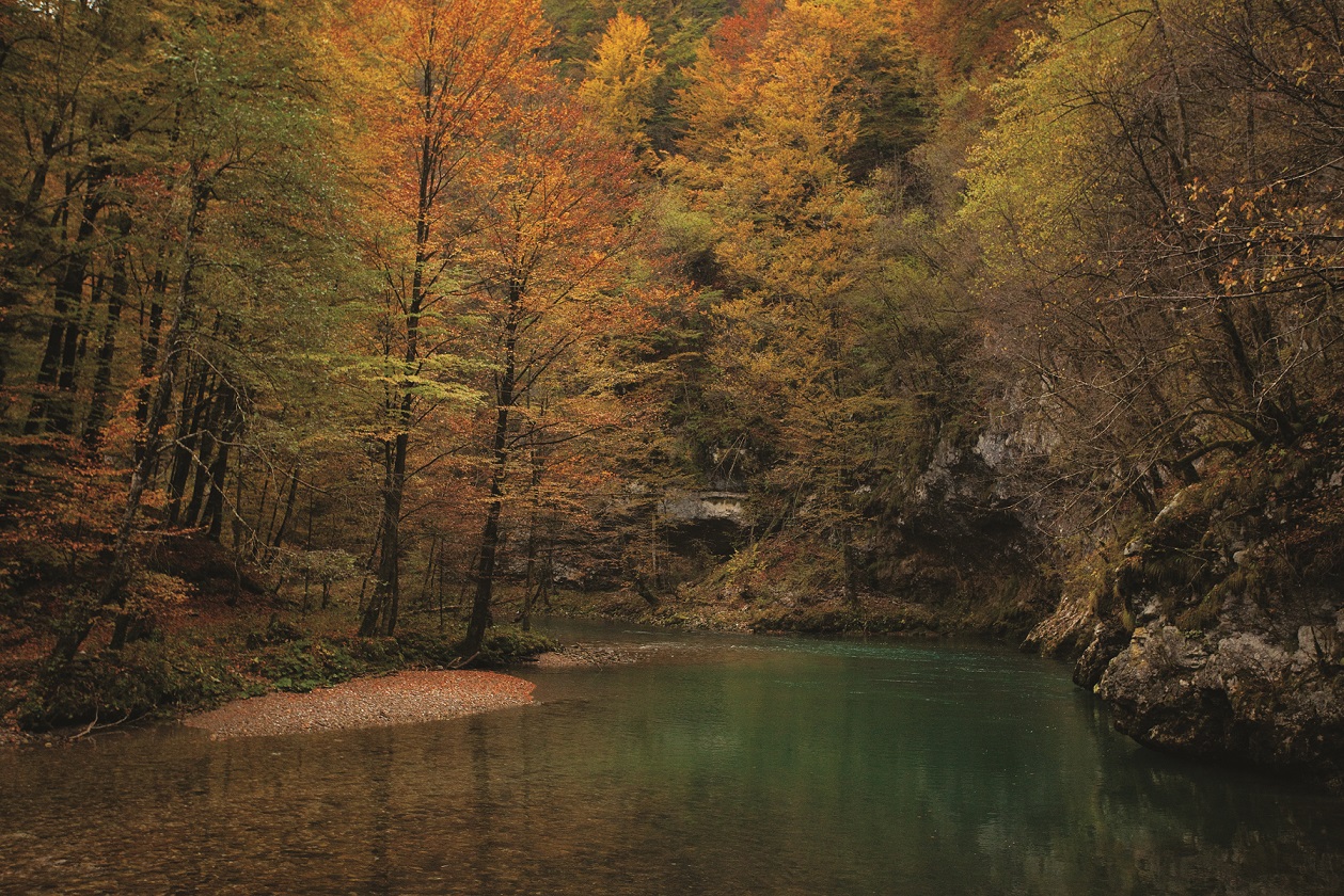
It begins at the Village of Biljevina, on the edge of a karst plateau. Several gullies merge into the valley of the stream of Krašićevica, which flows down to the source of the River Kupa at 321 m above the sea level. The lowest point of the canyon of Kupa’s upper course lies at 2 m above the sea level, at the confluence of the rivers Čabranka and Kupa, while the surrounding canyon reaches 800 m high. It is interesting to note that the low, deeply cut in Valley of the River Kupa is situated as a warm wedge in the typically cold Gorski kotar.
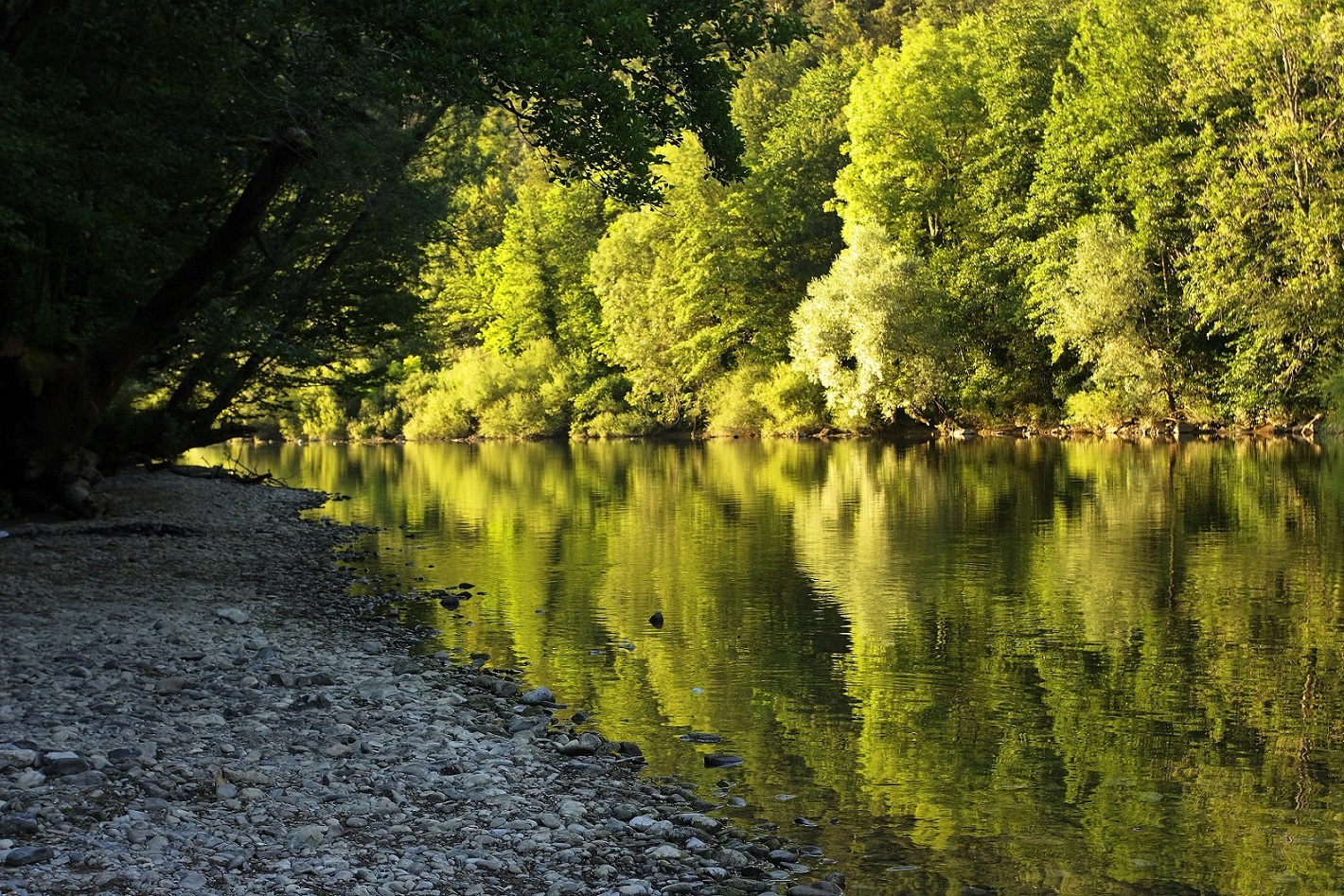
The spring of the River Kupa is located below the hundred meter high cliff of Kupički vrh. In terms of geomorphology, downstream, the left (western) and the right (eastern) sides of the valley are very different.
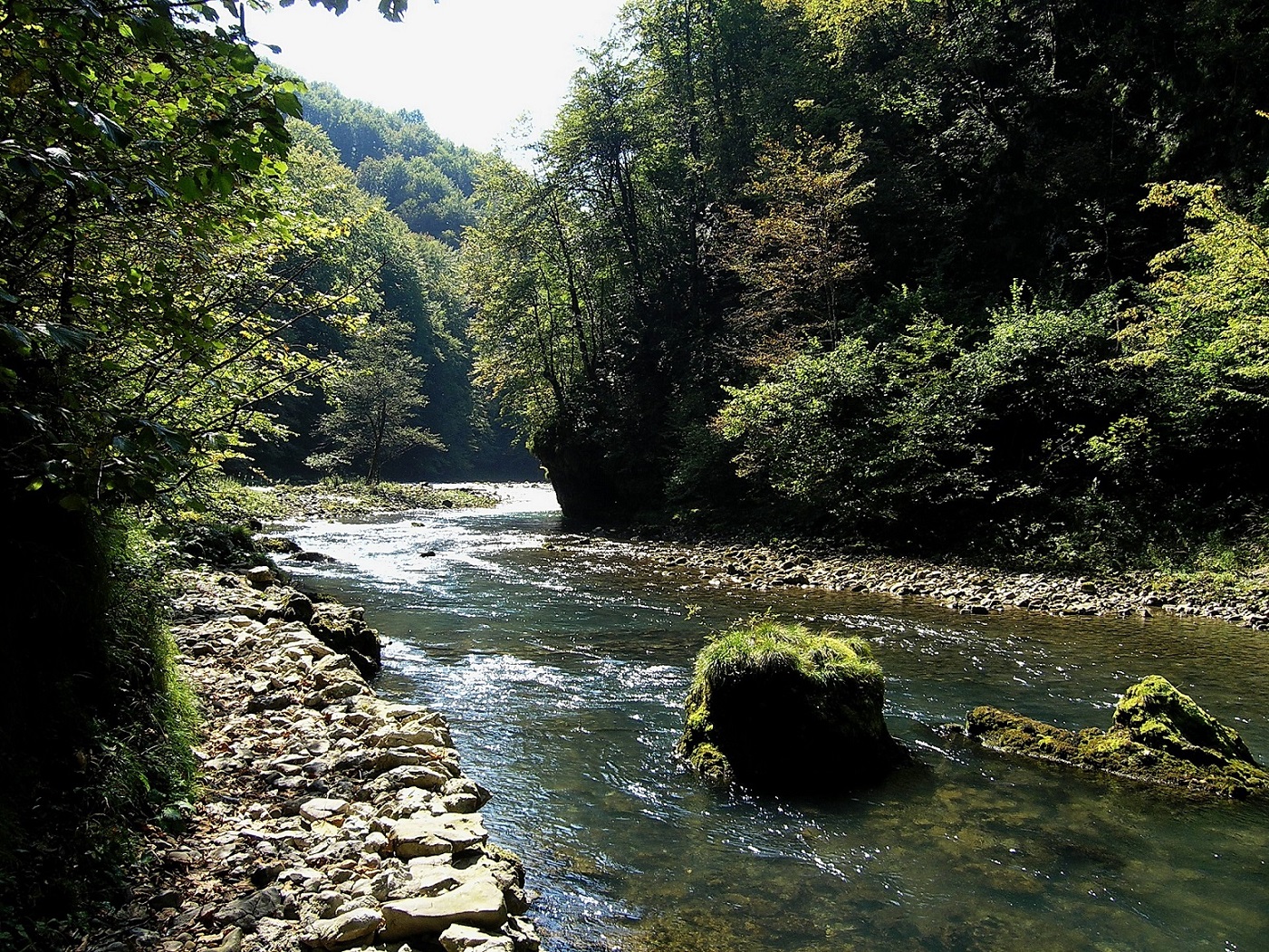
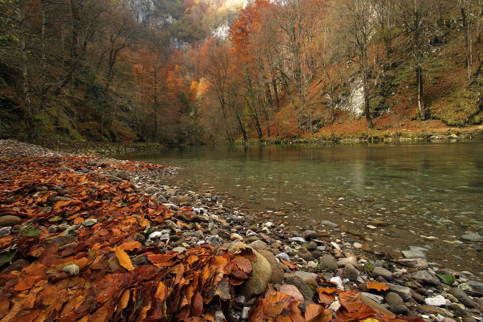
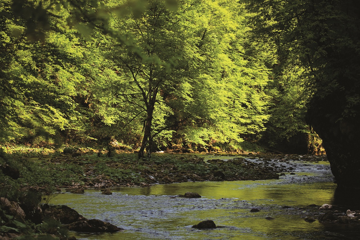
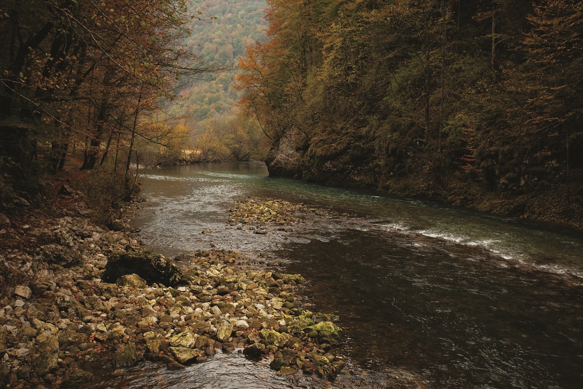
Low-permeable rocks, subject to intense erosion dominate the left side.
The longest and morphologically most notable is Sušica whose tributaries begin at the foot of Gerovo. The right side of the Kupa Valley is formed by carbonate rocks dating from the Early Jurassic Epoch. The slopes at the top are very steep, while the floor of the valley is flatter. There are great quantities of gravel-sand alluvial deposits in the area around Kupa’s riverbed.